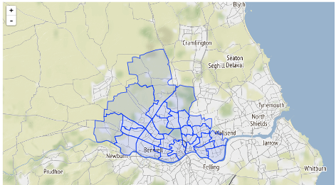
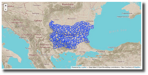
5.6 KiB
Common base layers for Map Widgets
To provide a consistent look and feel and avoiding code duplication, the map widgets (at least the ones based on Leaflet) can use a common function to create the map. The base layer that the map will use can be configured via configuration options.
Configuring the base layer
The main configuration option to manage the base layer used is
ckanext.spatial.common_map.type. Depending on the map type
additional options may be required. The spatial extension provides
default settings for popular tiles providers based on OpenStreetMap, but you can use any
tileset that follows the XYZ
convention.
Note
All tile providers have Terms of Use and will most likely require proper attribution. Make sure to read and understand the terms and add the relevant attribution before using them on your CKAN instance.
Stamen Terrain
The Terrain tiles are provided by Stamen, and are based on data by OpenStreetMap. This is the default base layer used by the map widgets, and you don't need to add any configuration option to use them. If you want to define it explicitly though, use the following setting:
ckanext.spatial.common_map.type = stamen
MapBox
MapBox allows to define your
custom maps based on OpenStreetMap data, using their online editor or
the more advanced MapBox
Studio desktop tool. You will need to provide a map id with the
[account].[handle] form and and access token (Check here for more
details):
ckanext.spatial.common_map.type = mapbox
ckanext.spatial.common_map.mapbox.map_id = youraccount.map-xxxxxxxx
ckanext.spatial.common_map.mapbox.access_token = pk.ey...
Custom
You can use any tileset that follows the XYZ
convention using the custom type:
ckanext.spatial.common_map.type = customYou will need to define the tileset URL using
ckanext.spatial.common_map.custom.url. This follows the Leaflet URL
template format (ie {s} for subdomains if any, {z} for zoom and {x}
{y} for tile coordinates). Additionally you can use
ckanext.spatial.common_map.subdomains and
ckanext.spatial.common_map.attribution if needed (these two
will also work for Stamen and MapBox layers if you want to tweak the
defaults.
This is a complete example that uses Stamen's famous watercolor maps:
ckanext.spatial.common_map.type = custom
ckanext.spatial.common_map.custom.url = http://tile.stamen.com/watercolor/{z}/{x}/{y}.jpg
ckanext.spatial.common_map.attribution = Map tiles by <a href="http://stamen.com">Stamen Design</a>, under <a href="http://creativecommons.org/licenses/by/3.0">CC BY 3.0</a>. Data by <a href="http://openstreetmap.org">OpenStreetMap</a>, under <a href="http://creativecommons.org/licenses/by-sa/3.0">CC BY SA</a>.
This is a example using TMS:
ckanext.spatial.common_map.type = custom
ckanext.spatial.common_map.custom.url = /url/to/your/tms/{z}/{x}/{y}.png
ckanext.spatial.common_map.tms = true
Note
For custom base layers you need to manually modify the attribution link on the templates for widgets on the sidebar, like the spatial query and dataset map widgets.
For developers
To pass the base map configuration options to the relevant Javascript
module that will initialize the map widget, use the
h.get_common_map_config() helper function. This is
available when loading the spatial_metadata plugin. If you
don't want to require this plugin, create a new helper function that
points to it to avoid duplicating the names, which CKAN won't allow (see
for instance how the GeoJSON preview plugin does it).
The function will return a dictionary with all configuration options
that relate to the common base layer (that's all that start with
ckanext.spatial.common_map.)
You will need to dump the dict as JSON on the
data-module-map_config attribute (see for instance the
dataset_map_base.html and spatial_query.html
snippets):
{% set map_config = h.get_common_map_config() %}
<div class="dataset-map" data-module="spatial-query" ... data-module-map_config="{{ h.dump_json(map_config) }}">
  <div id="dataset-map-container"></div>
</div>
<div id="dataset-map-attribution">
  {% snippet "spatial/snippets/map_attribution.html", map_config=map_config %}
</div>
Once at the Javascript module level, all Leaflet based map widgets
should use the ckan.commonLeafletMap constructor to
initialize the map. It accepts the following parameters:
container: HTML element or id of the map containermapConfig: (Optional) CKAN config related to the common base layerleafletMapOptions: (Optional) Options to pass to the Leaflet Map constructorleafletBaseLayerOptions: (Optional) Options to pass to the Leaflet TileLayer constructor
Most of the times you will want to do something like this for a sidebar map:
var map = ckan.commonLeafletMap('dataset-map-container', this.options.map_config, {attributionControl: false});And this for a primary content map:
var map = ckan.commonLeafletMap('map', this.options.map_config);